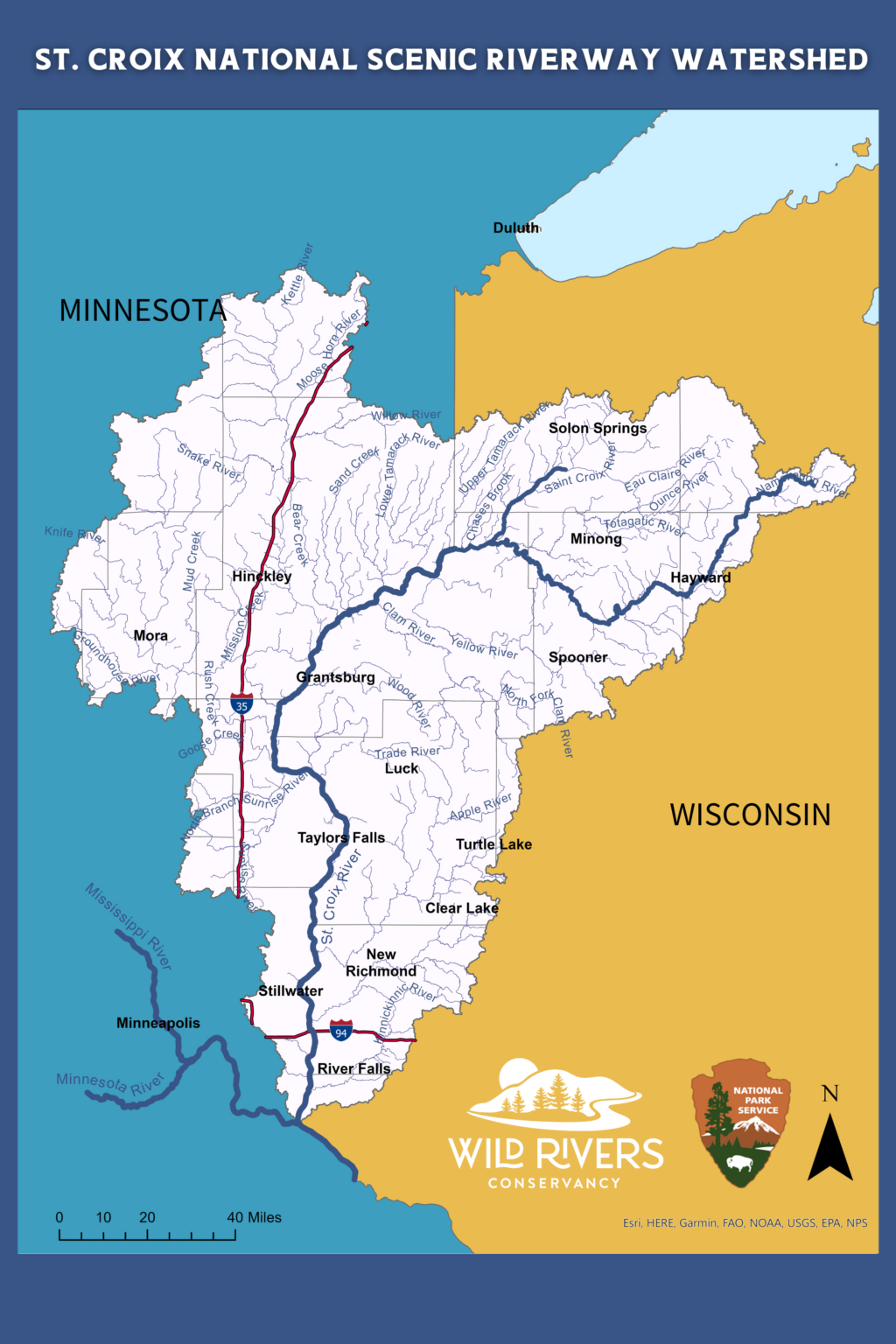
The Watershed Atlas is a tool to help you learn about your watershed and the resources within it.
The map is segmented by sub-watersheds within the greater St. Croix Watershed. Clicking on a sub-watershed area will display the organizations and agencies that offer cost-share assistance for land improvements, manage zoning ordinances, regulate septic systems, accept and preserve land donations, and ways to celebrate the river.

